DANVERS STATE HOSPITAL on google maps
You can zoom in and move the map around
View Larger Map
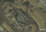
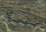
DANVERS STATE HOSPITAL on google earth
Click on the thumbnail to view full size pictures


You can download google earth for free at http://earth.google.com/
Press Ctrl+Alt+A when running google earth to turn it into a flight simulator.


No comments:
Post a Comment